
Measured surveys, drone inspections and an online viewer.
Measured surveys, drone inspections and reality capture, delivered as drawings, models and mapped imagery that property professionals can use straight away.

Measured surveys
Laser scanning and drone-supported measured surveys producing floor plans, elevations, sections, roof plans, point clouds and BIM/Revit outputs.
Find out more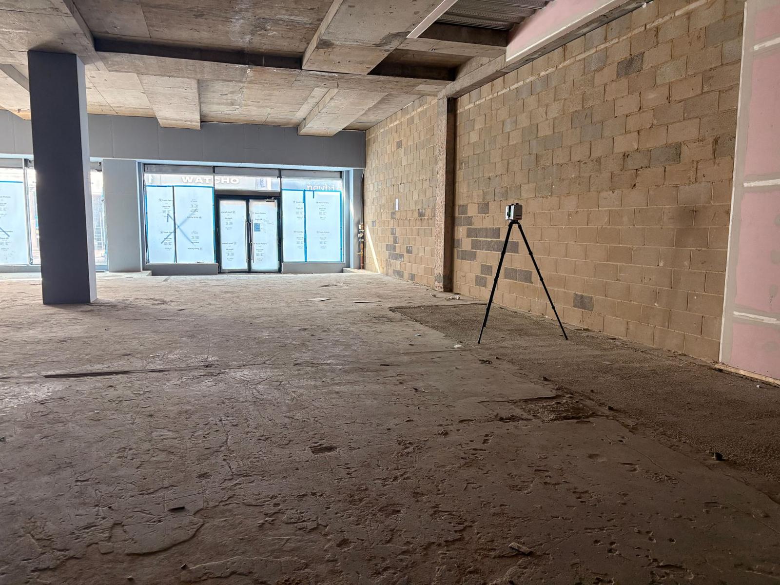

Inspection surveys
Drone inspections of roof coverings, gutters, chimneys and other high-level areas, with every image plotted on a map.
Find out more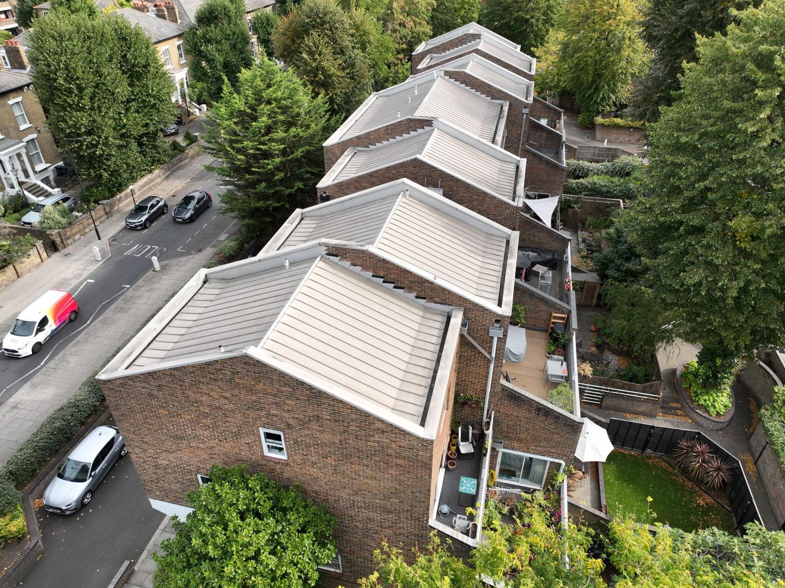

Viewing platform
Mapped, interactive survey data that makes reviewing and sharing information simple, with no software or logins for your clients.
Find out more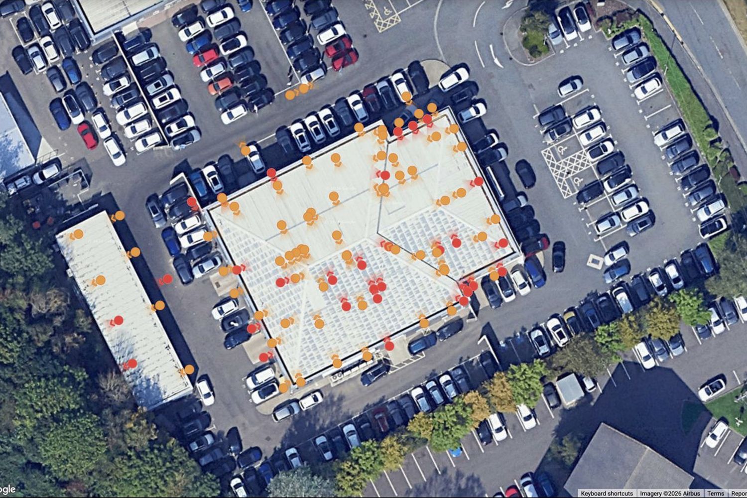
DeliverablesDWGPDFE57RCPLASRVT / IFCOrthomosaicMapped imagery
Bring us your project and we’ll shape the survey around it.
Send the address and what you need, or call to talk it through. We’ll come back with a clear quote.